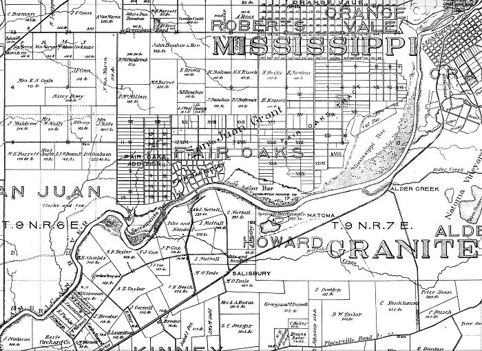
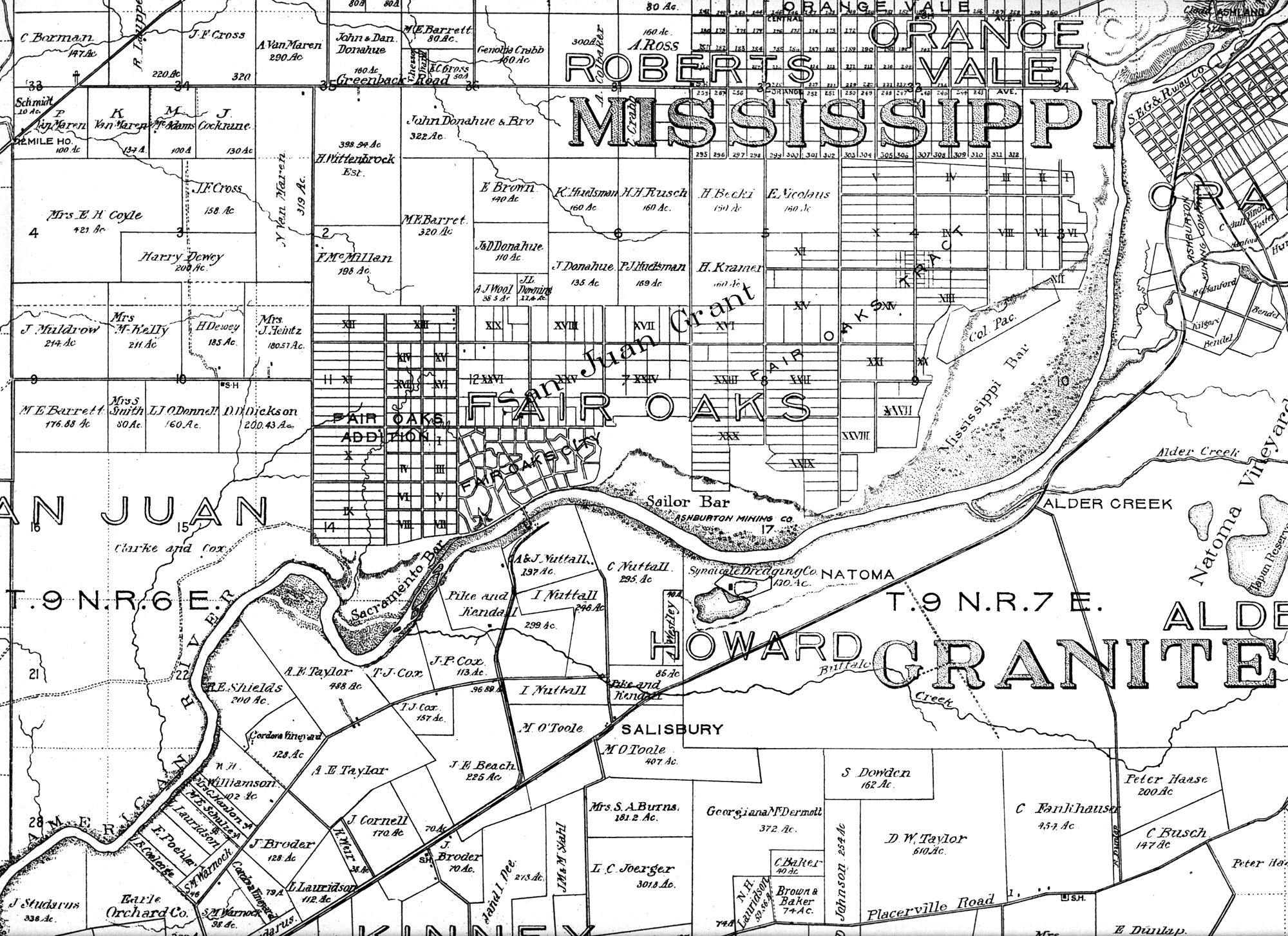
The Sacramento Archives and Museum Collection Center (visit their website) kindly gave us a copy of the 1903 County Assessor's plot map. We have the old copy tucked away - it's starting to get a bit fragile - but we scanned the portion that shows the parcels of many of the original owners of large plots surrounding Fair Oaks. A word of caution - the names on the plots are those of the owners, not necessarily of who lived there. To see the larger scanned image, click here.
You'll notice the familiar landmarks of Alder Creek, Natoma and Salisbury; and you'll be able to locate San Juan Avenue, Sunset Avenue and Greenback Road. It's hard to tell on this map where lines represent a road or simply a property boundary, but certainly Winding Way didn't exist east of the town of Fair Oaks.